|
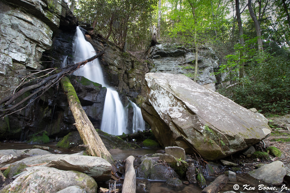
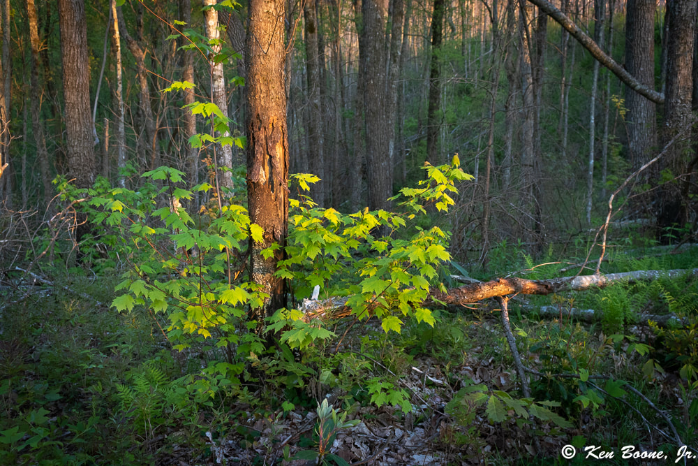
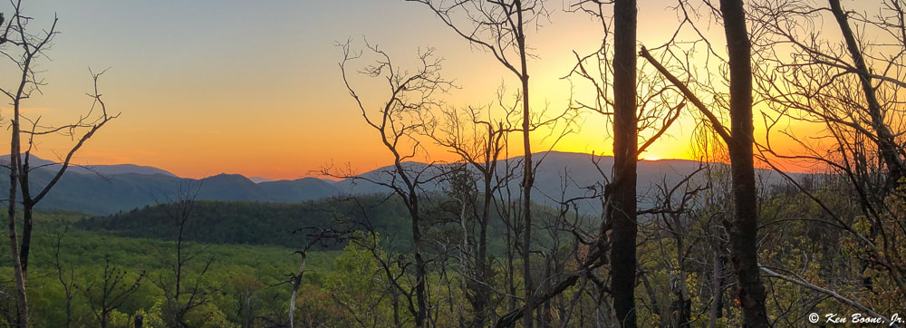
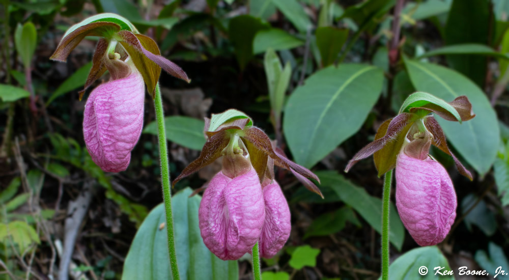
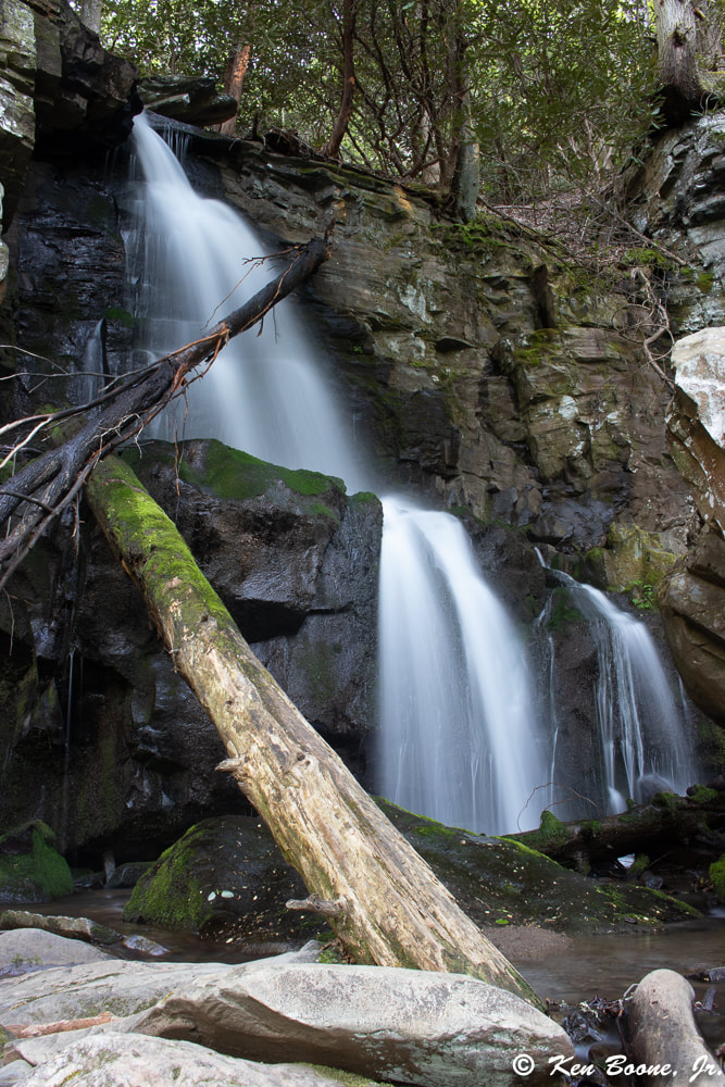
While staying at A Pearl's Splash pool cabin in the spring of 2019, we had a short block of time for a quick hike. The hike to Baskins Creek Falls fit the bill, and I tend to always like waterfall hikes anyway. You can watch my video overview of the hike here: We did this hike in mid-spring, and we actually found that Pink Lady Slippers were blooming as a few were right on the trail. This hike takes you up over a part of a mountain that was burned in the fires of 2016. Although you can get a glimpse of how destructive the fire was, you can also see how the natural re-growth process is coming along. The trail itself is typical of many waterfall hikes; you have to go down to reach the waterfalls, and in this case, what goes down, must come back up. There is a long steep section as you get closer to the falls which is easier going down than coming up, but this is a doable hike for most folks. The trail itself is not harsh, with much of it being smooth, and what is not smooth has roots and rocks in places. There is one main creek crossing, where you will need waterproof shoes or boots if you don’t want your feet to get wet. It is easily crossable, but it is a few inches deep. Driving Directions: From traffic light #8 in Gatlinburg, you will turn South on Historic Nature Trail Road. At about .7 miles, you will need to stay to the right to get on Cherokee Orchard Road. At about 2.2 miles, the road will split and you will be on a one way loop. At .9 miles on the loop, you will be able to make a right turn onto the Roaring Fork Motor Nature Trail. Go .2 miles and you can pull off at the Baskins Creek Trail Trailhead. Trail Directions: Starting from the trail head you will have a gradual hike uphill, and after about .25 miles it will level out and give you some nice mountain views. This is the section where the 2016 fires went through. You will cross over a ridge and then start heading down with a gradual descent. At about .9 miles you will need to cross Falls Branch creek by foot. In a non-rainy period, it will be a few inches deep; if there is heavy rain, I am not sure what it will look like. After crossing the creek, the trail will turn to the left and start a pretty steady and steep descent. This is the part that is not so fun on the return trip. At about 1.3 miles in, you will hit a junction where you can either go straight, which will lead you another 1.3 miles to the Roaring Fork Motor Nature Trail, or you can go left. You want to go left at this junction to go to the falls. There is a sign so not to worry. In roughly .2 miles you will reach Baskins Creek Falls. The last little bit has somewhat of a small rock scramble and gets a little steep for about 40 yards or so. Overall this is a nice set of falls and not too bad of a hike. Most folks would rate this as an easy hike, although there are some steep sections as with most waterfall hikes. This hike would be an easy half day adventure if you are staying at any one of the cabins that Peaceful Cabin Rentals offers.
1 Comment
Amanda
5/20/2020 07:20:07 pm
Beautiful pictures! Looks like a great hike.
Reply
Leave a Reply. |
Erin BooneOwner - Peaceful Cabin Rentals Categories
All
Archives
April 2023
|

 RSS Feed