|
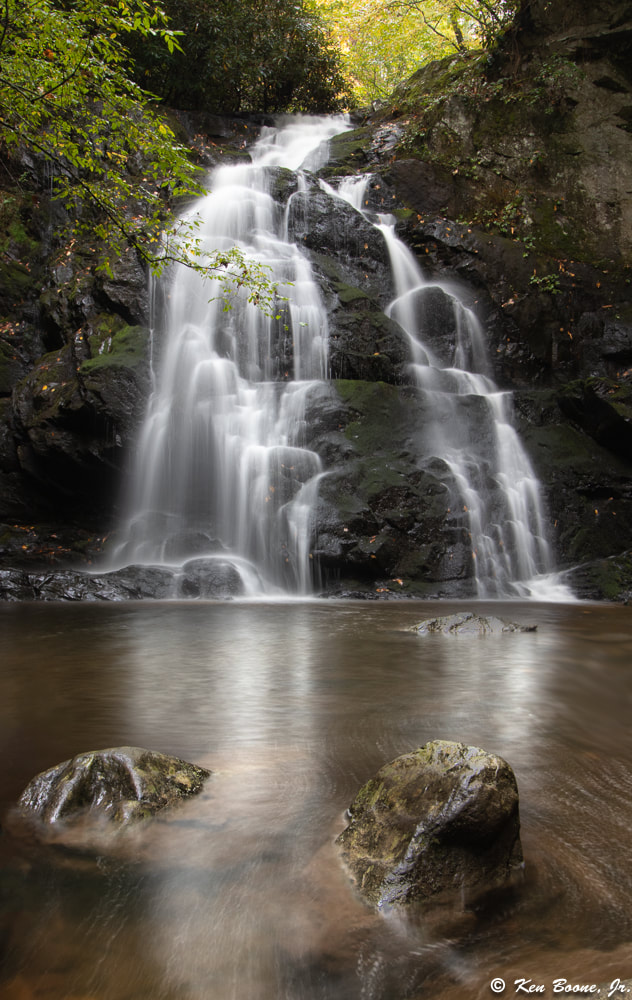
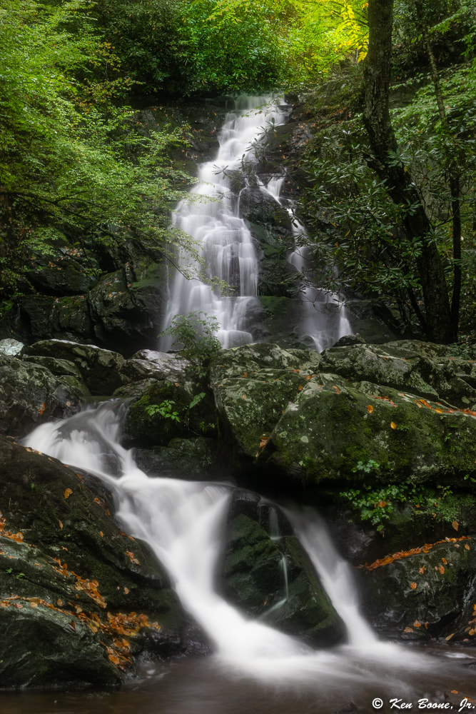
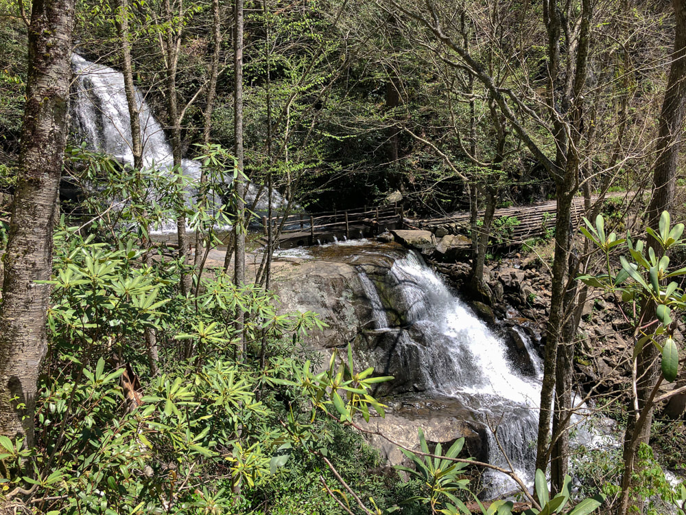
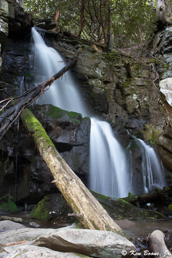
If you would like to take a short hike to see a set of really nice waterfalls, think about visiting Spruce Flats Falls. These falls are located near the Tremont Institute in the Great Smoky Mountain National Park just outside of Townsend, TN. If you are staying at Mountains on My Mind, the drive to the parking area for the falls is a short 30 minutes. If you are coming from one of our other cabins, it would be closer to a 45 minute drive. This set of falls has not been listed on the official park map; however, it is becoming more popular as more people review these falls. The nice thing is that this will be one of the lesser visited falls in the region. My daughter and I hiked the trail to visit these falls early one fall morning, and we didn’t see anyone else until after we spent about 45 minutes photographing the falls from various vantage points. As we were just finishing, a guide from the Tremont Institute was bringing a group of teenagers to see the falls. On the return hike we only saw one other set of hikers on the trail heading towards the falls. The trail to Spruce Flats Falls has been rated from easy to moderate depending on who you talk to. Overall it is not a long trail as the roundtrip length is around 1.4 miles long. There is an elevation gain of about 460 feet. Now there are some steep parts and some sections of the trail that have a lot of rocks and stumps. Driving Directions:
Spruce Flats Falls will make a great half day hike if you are staying at any of the cabins Peaceful Cabin Rentals has to offer.
0 Comments
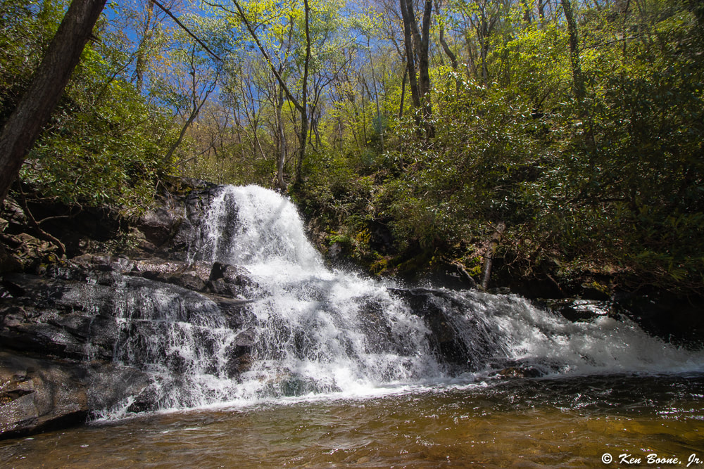
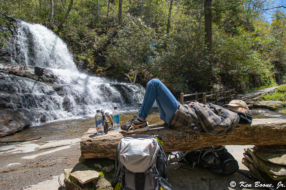
Laurel Falls is one of the most popular waterfalls in the Smoky Mountains and with good reason. The trailhead for this hike that most folks take to visit these famous falls is located along Fighting Creek Gap Rd between Metcalf Bottoms and the Sugarlands Visitor Center. This is one of a small number of paved hiking trails in the Smoky Mountains. The amount of elevation that you gain to reach these falls is just over 300 feet, and it is only a 2.3 mile roundtrip hike. I have yet to hike this trail because it is generally very crowded and the parking area is generally full. It is recommended that if you want to hike this trail that you do so early in the morning before the crowds arrive. Most websites that reference this trail rate it as an easy trail, but there are some steep drop offs, and bears are routinely sighted in this area. Incidentally, if you are staying at Mountains on My Mind, you can take a quick 11 mile drive to reach this trailhead. Actually, if you are standing on the porch at Mountains on My Mind and look to the left, the long mountain range that you see is Cove Mountain. Laurel Falls is on the opposite side of Cove Mountain from this vacation cabin. When most folks embark on the Laurel Falls Trail from the parking area, they typically hike the 1.15 miles to the falls, which is all paved, and then hike back to their vehicle. The trail however, extends on and up the mountain. In fact, Laurel Falls Trail goes all the way to the top of Cove Mountain and end at Cove Mountain Trail 1/10 of a mile from the old Cove Mountain Fire Tower which is at the peak of Cove Mountain. After we purchased Mountains on My Mind, I learned that there is a path to an old logging road that leads up to the old fire tower, which is now used for weather research on top of Cove Mountain. I knew this would be an awesome hike to take from the cabin, and I knew it would be a solid day hike. I filmed our journey, and you can check it out below: So, on one of our stays, I took my youngest daughter with me, and we set out from the porch of Mountains on My Mind on an epic hike to Laurel Falls, using the path less traveled. We hiked all the way up the logging road and checked out the weather tower at the summit of Cove Mountain, then found Laurel Falls Trail and hiked all the way down to the falls. We hung out at the falls for about 45 minutes or so and ate some snacks, re-hydrated ourselves, took some photos, and then finally headed back up Cove Mountain. Altogether, from the time we left the porch of Mountains on My Mind until the time we returned to the cabin, it was about 8 hours. From the cabin to the top of Cove Mountain is about 4 miles; then it was roughly another 3 miles to Laurel Falls. Having said all that, Laurel Falls is not the only destination available from this cabin. Once you reach Cove Mountain Trail, if you go east on the trail, in 8.7 miles you will reach the Sugarlands Visitor Center. There and back again to Sugarlands from this cabin is probably too much to do in a single day; however, you should be able to hike to Sugarlands in under 8 hours I’m guessing and have someone pick you up at the Visitor Center. The nice thing about this is that from what I understand, going in this direction the 8.7 mile hike from the Fire Tower is all downhill to Sugarlands. I think I will try this next. Also, once you are on Laurel Falls Trail, heading down, at about .9 miles you will hit an intersection with Little Greenbrier Trail. This trail will take you to Little Brier Gap Trail which will take you to Metcalf Bottoms. You will be able to visit the historic Little Greenbrier School along the way. From the intersection of Little Greenbrier Trail and Laurel Falls Trail, this jaunt is a little under 4 miles. So that is another possibility for a day hike, or to simply just hike to Metcalf Bottoms and have someone pick you up.
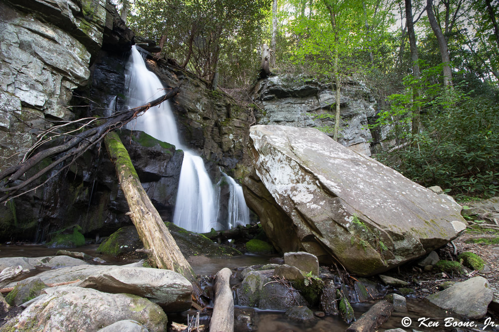
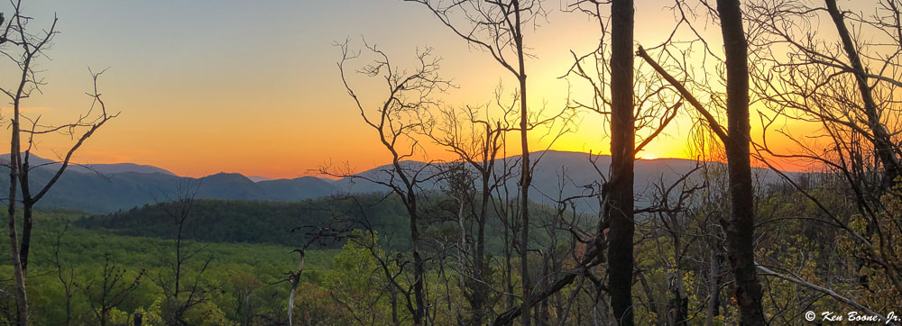
What was so cool was that we were able to hike all the way to famous Laurel Falls from this cabin without ever having to get in a vehicle. It was an incredible day! While staying at A Pearl's Splash pool cabin in the spring of 2019, we had a short block of time for a quick hike. The hike to Baskins Creek Falls fit the bill, and I tend to always like waterfall hikes anyway. You can watch my video overview of the hike here: We did this hike in mid-spring, and we actually found that Pink Lady Slippers were blooming as a few were right on the trail. This hike takes you up over a part of a mountain that was burned in the fires of 2016. Although you can get a glimpse of how destructive the fire was, you can also see how the natural re-growth process is coming along. The trail itself is typical of many waterfall hikes; you have to go down to reach the waterfalls, and in this case, what goes down, must come back up. There is a long steep section as you get closer to the falls which is easier going down than coming up, but this is a doable hike for most folks. The trail itself is not harsh, with much of it being smooth, and what is not smooth has roots and rocks in places. There is one main creek crossing, where you will need waterproof shoes or boots if you don’t want your feet to get wet. It is easily crossable, but it is a few inches deep. Driving Directions: From traffic light #8 in Gatlinburg, you will turn South on Historic Nature Trail Road. At about .7 miles, you will need to stay to the right to get on Cherokee Orchard Road. At about 2.2 miles, the road will split and you will be on a one way loop. At .9 miles on the loop, you will be able to make a right turn onto the Roaring Fork Motor Nature Trail. Go .2 miles and you can pull off at the Baskins Creek Trail Trailhead. Trail Directions: Starting from the trail head you will have a gradual hike uphill, and after about .25 miles it will level out and give you some nice mountain views. This is the section where the 2016 fires went through. You will cross over a ridge and then start heading down with a gradual descent. At about .9 miles you will need to cross Falls Branch creek by foot. In a non-rainy period, it will be a few inches deep; if there is heavy rain, I am not sure what it will look like. After crossing the creek, the trail will turn to the left and start a pretty steady and steep descent. This is the part that is not so fun on the return trip. At about 1.3 miles in, you will hit a junction where you can either go straight, which will lead you another 1.3 miles to the Roaring Fork Motor Nature Trail, or you can go left. You want to go left at this junction to go to the falls. There is a sign so not to worry. In roughly .2 miles you will reach Baskins Creek Falls. The last little bit has somewhat of a small rock scramble and gets a little steep for about 40 yards or so. Overall this is a nice set of falls and not too bad of a hike. Most folks would rate this as an easy hike, although there are some steep sections as with most waterfall hikes. This hike would be an easy half day adventure if you are staying at any one of the cabins that Peaceful Cabin Rentals offers.
|
Erin BooneOwner - Peaceful Cabin Rentals Categories
All
Archives
April 2023
|






 RSS Feed